Leaders: William and Ann
Report: William
Photos: Annette, William and Anh
Total distance: 12.8km (13.8km including Witch Hill ascent)
Total elevation gain: approx 600m
Time: 5.5 hours including refreshment stops
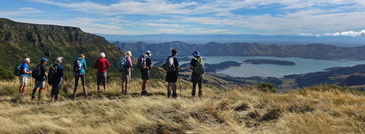
Twenty one keen walkers met at the end of Bowenvale Ave for the walk to Witch Hill and return. The weather was cooler than previous days so initially very good for walking but a stronger breeze arrived about lunch time with a warm afternoon.
The walk started off up the Bowenvale Valley Track to the Summit Road with a break for morning tea near the hidden water pond. The City Council is also constructing a fence across the track near here to enclose the valley from stock so that the valley can be planted in native trees over the next few years.
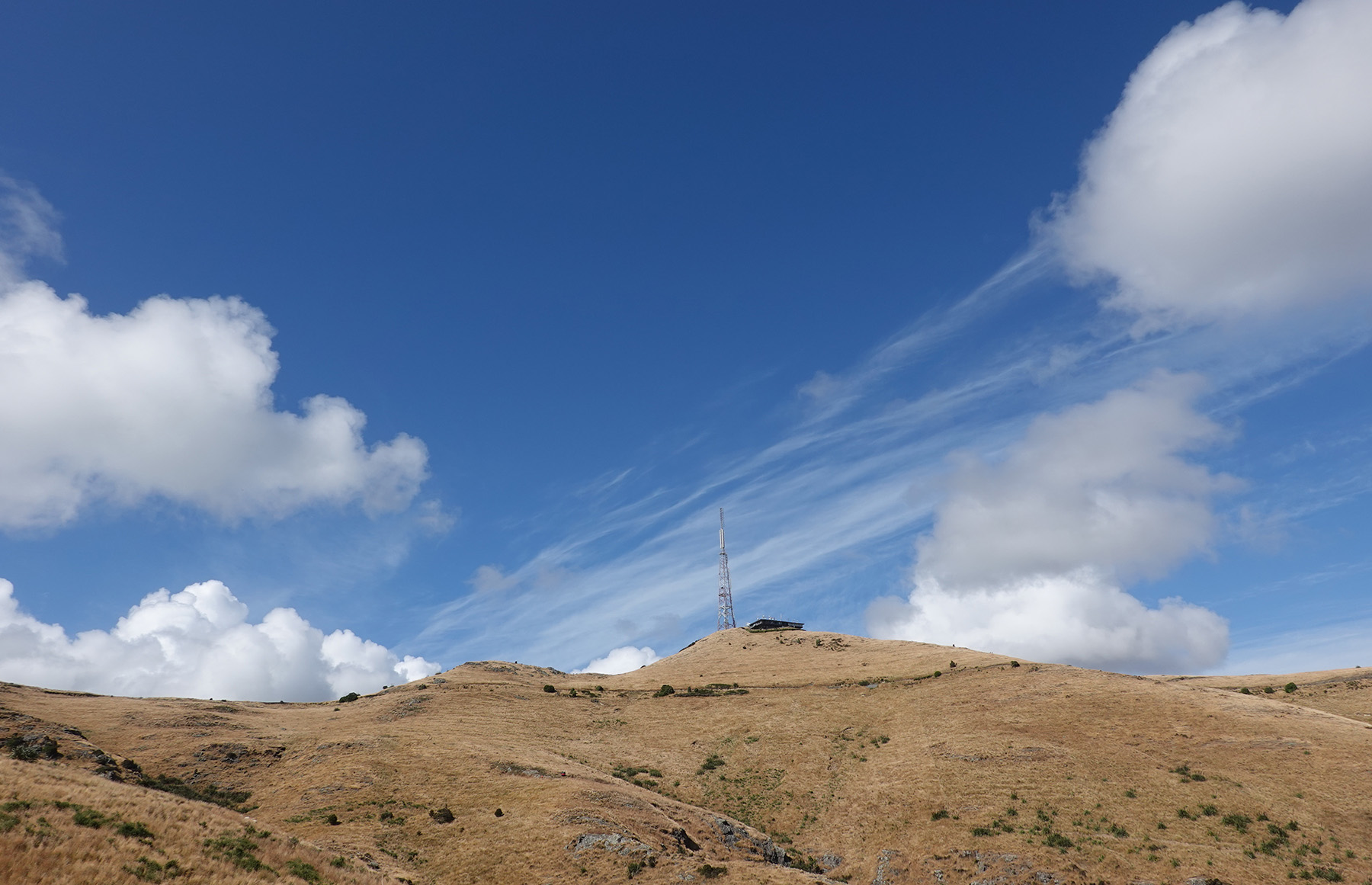
At the Summit Road we entered into Scotts Reserve and over the two tree-vegetated knobs. Actually the highest part of our walk today included Witch Hill. Once through the reserve we used the track at the base of Mt Vernon. No one ventured over Mt Vernon this year. All of the tracks close to the Summit Road are part of the Crater Rim Walkway. We continued walking past Rapaki Rock and skirted round Witch Hill and onto the eastern face which has the tracks with the best approach to climb Witch Hill.
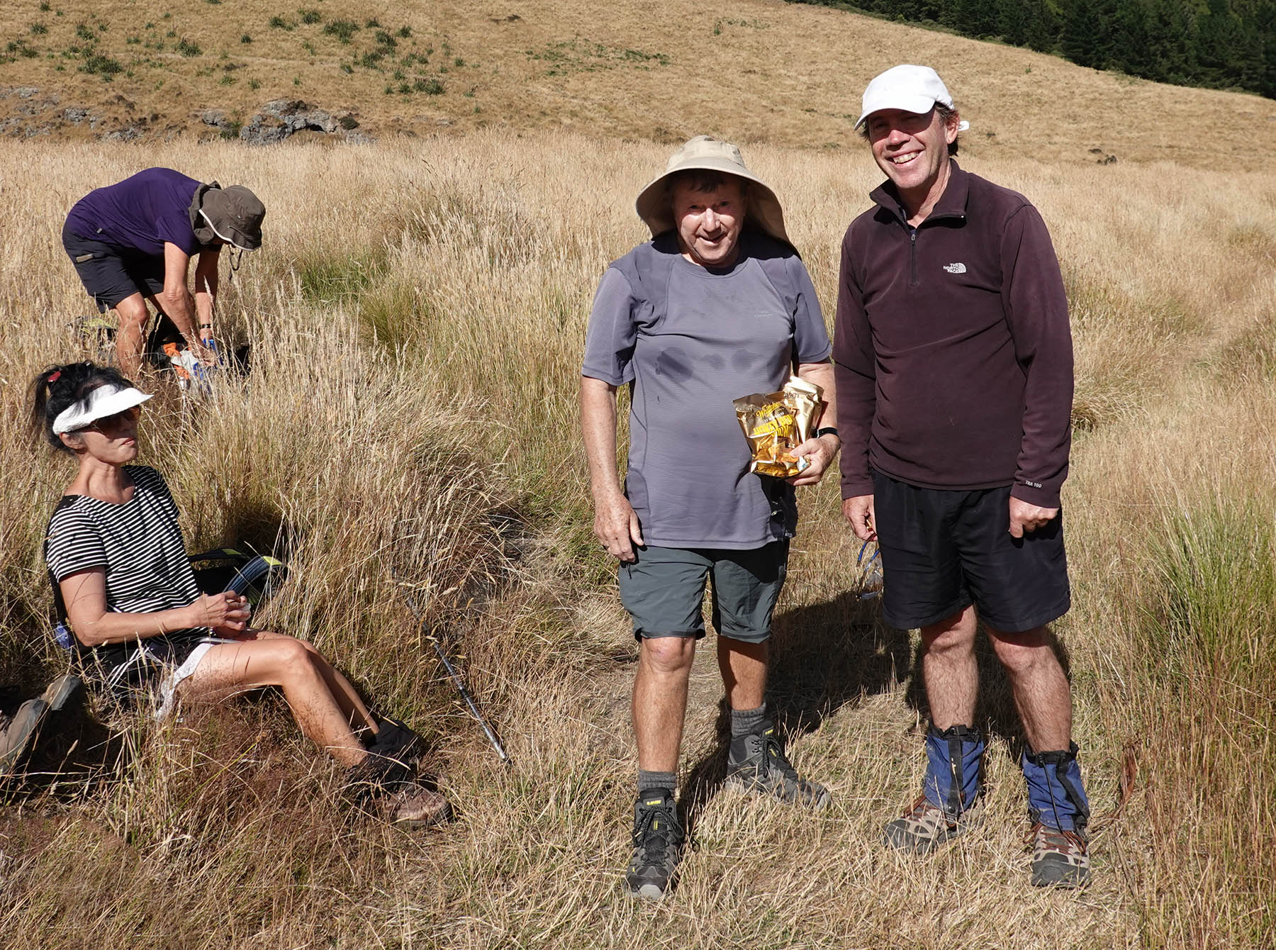
This was the lunch time stop so shelter from the wind was found on the lee side of a large rock where six keen walkers scrambled up Witch Hill for their lunch. For a number of walkers who climbed the hill this was their first ascent of the hill. Some rock scrambling was required. On top of the hill is a stone seat with plaques with names of local St Martins men who went to the First World War and did not return. To construct the seat would have taken some hard work to get the concrete and other building materials up the hill. Definite dedication to the task and the remembrance of the men who died.
After lunch we returned to the Huntsbury carpark area and walked down Huntsbury Road to the airstrip and then dropped onto the zig zag access track that had been built to construct the power pylons down into Bowenvale Valley. Further fencing to enclose Bowenvale Valley is being constructed just above these tracks, also for planting. At this point we used the Bowenvale Downhill MTB Track that eventually dropped us onto the Valley Track and back to the cars. Great to see the native planting at the northern end of the track getting well established.


Click here to see a video of our route, best viewed in large.
