Leaders: Ann and Pauline
Photos and report: Annette
Distance: 9.7km return
Elevation gain: starting at 428m and highest point 811m
Time: approx 3 hours 45 mins including refreshment stops
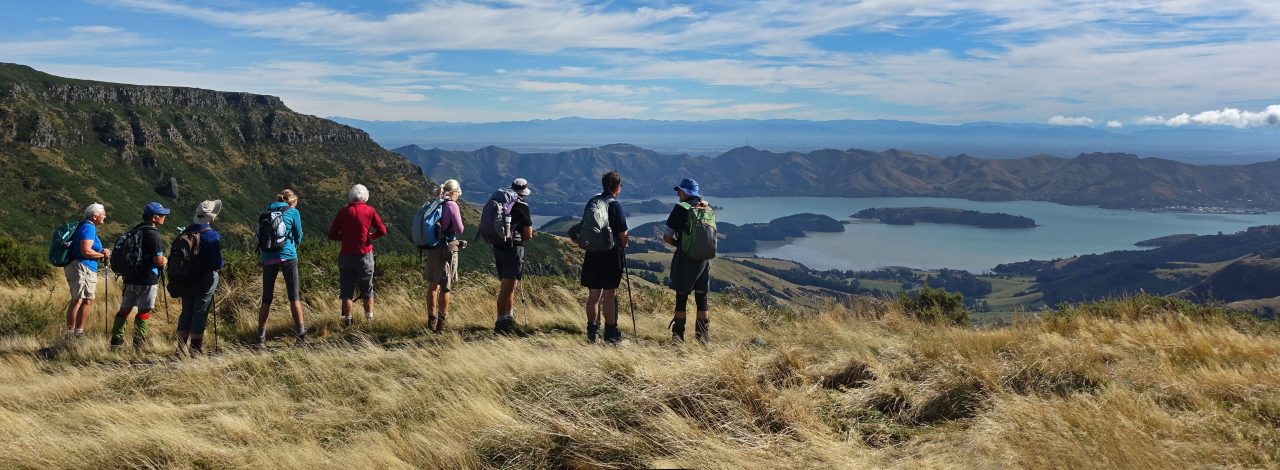
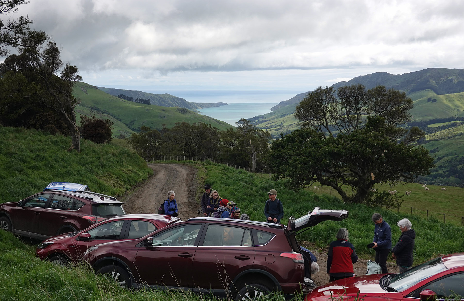
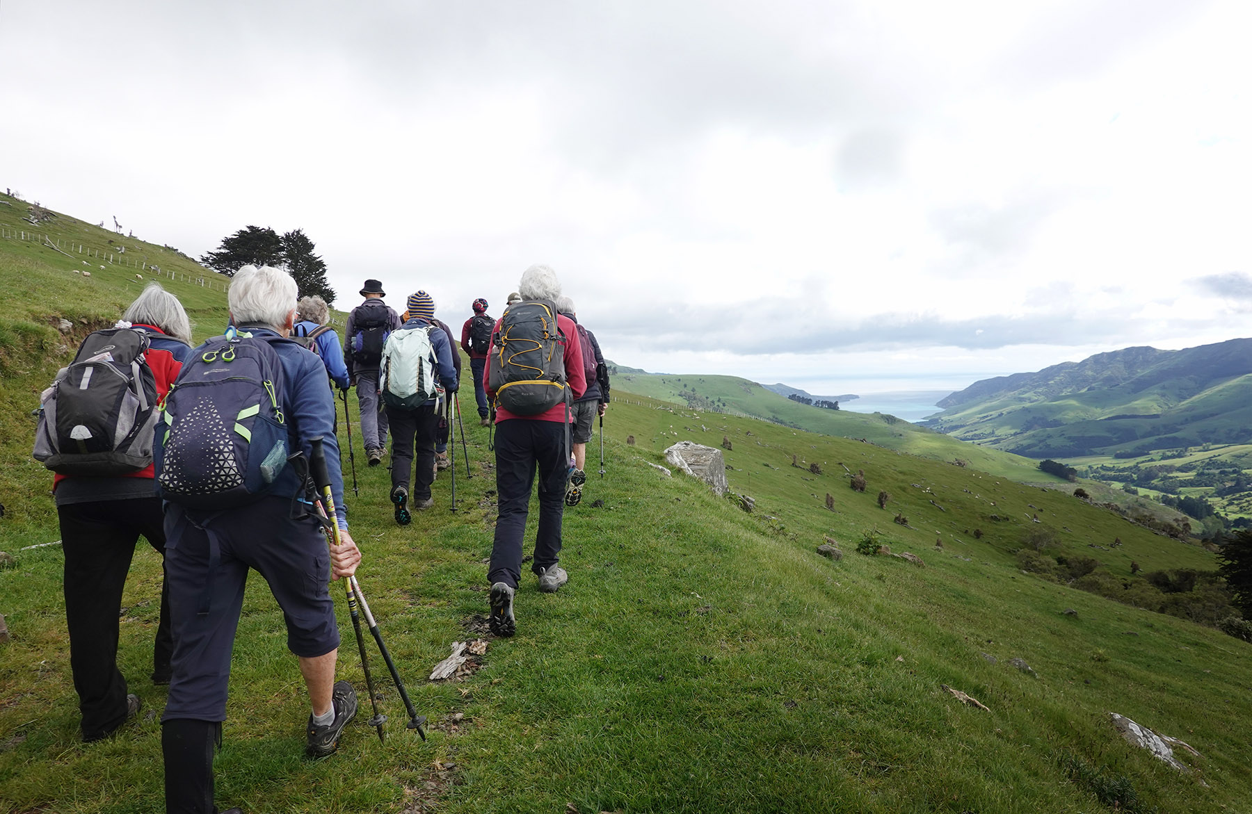
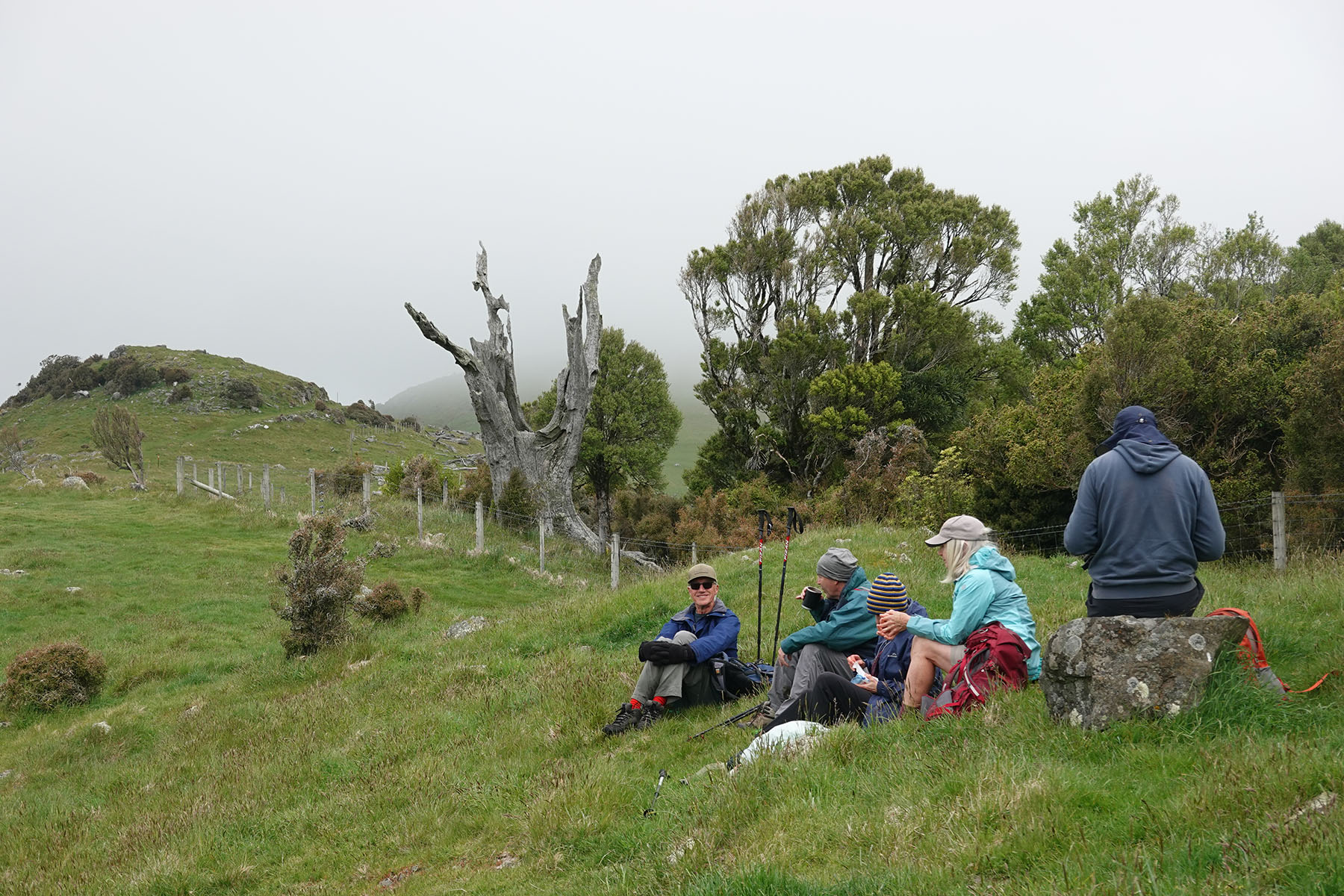
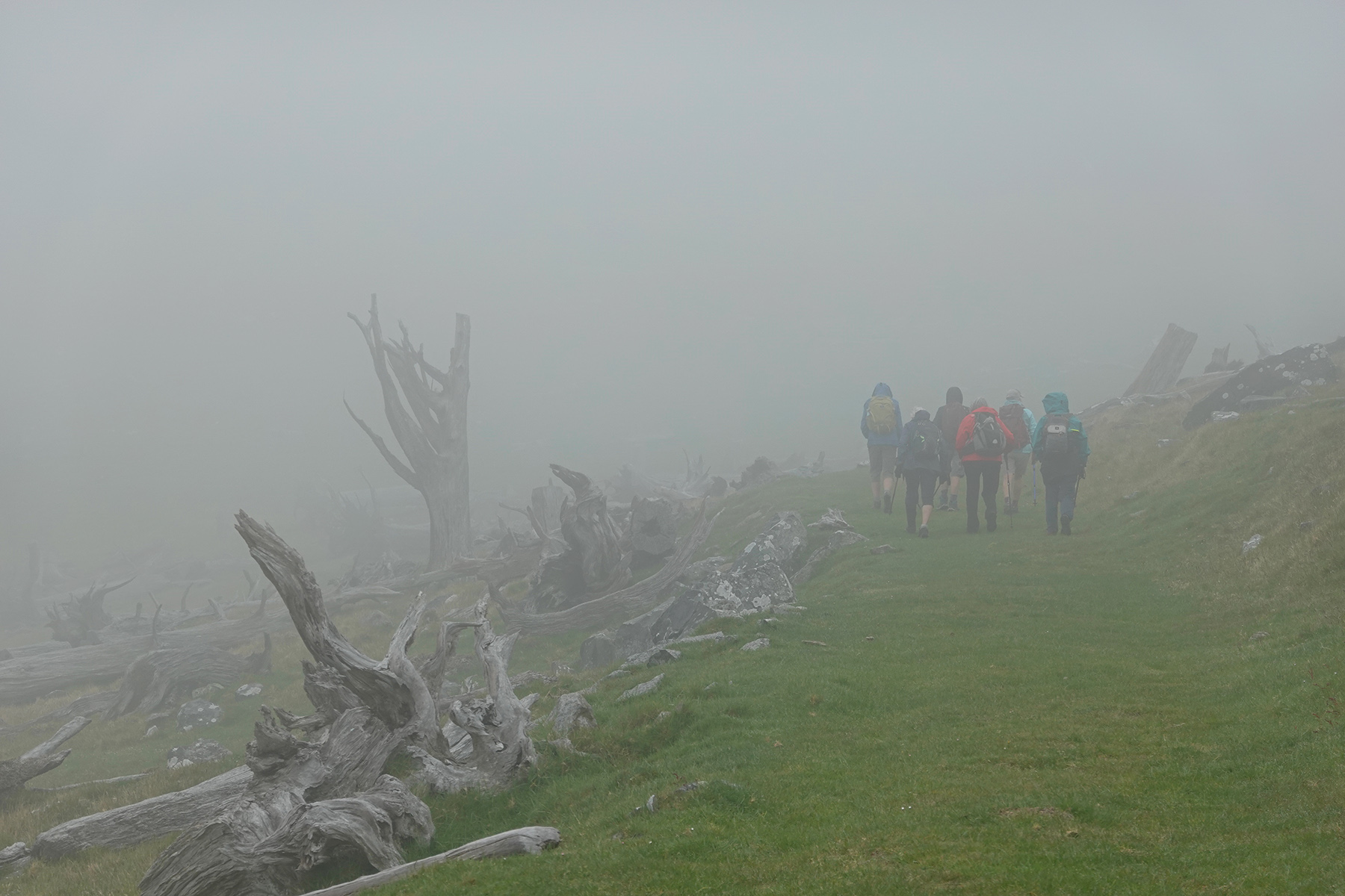
The plan for our seventeen walkers to reach the top of Mt Sinclair was thwarted by misty rain. After we left the carpark at Pettigrews Road there were lovely scenes from the Summit Walkway but as we trekked higher it got colder and wetter and our views of the surrounding landscape were taken away! So after lunch in the vicinity of Mt Sinclair we returned via the same route, happy to have spent a few hours in the great outdoors.


Click here for a video of our route, best viewed in large.

Can’t wait until you have room for me to join.
Regards Sheryll
LikeLike