Report: Eileen
Distance: 8.6km approx
Photos: Sheila, Eileen, William, Pauline
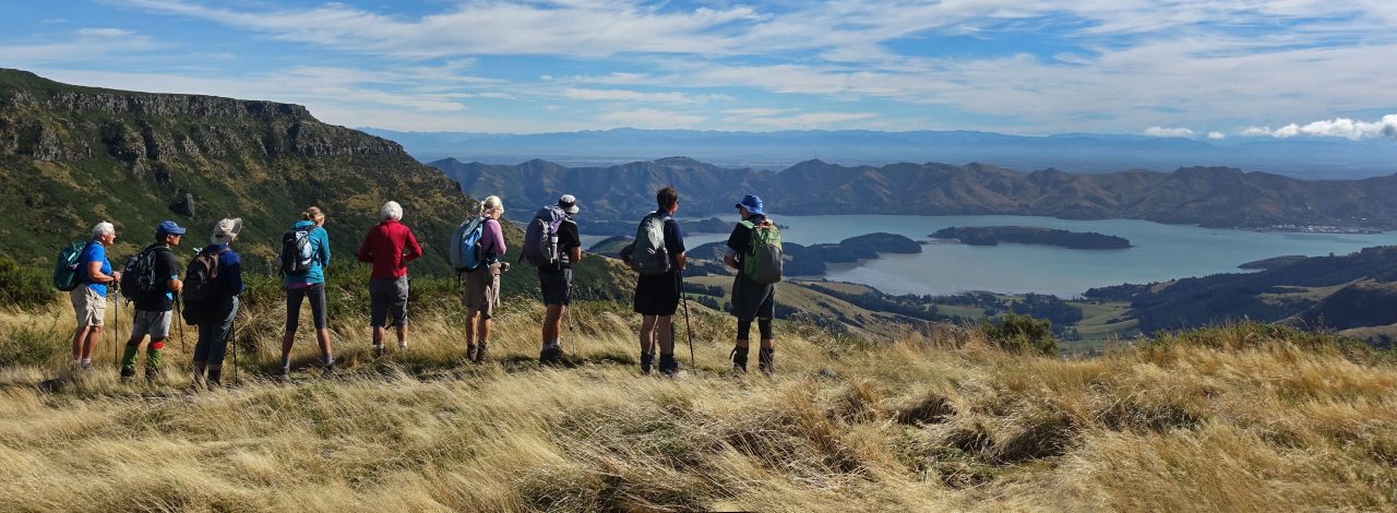
As the weather forecast predicted a maximum temperature of 29C by mid afternoon, the nine walkers who met at the top of Evan’s Pass were keen to complete the walk to Mt Pleasant before the day became too hot.
Luckily, cloud cover and an easterly breeze combined to produce perfect walking conditions for the first half of the walk as we followed a winding mountain bike track towards Jollies Bush, stopping midway for morning tea.
Half way along our next shared use track, Sheila spotted something red next to the path and thought at first it was some litter. It was in fact Clathrus archeri, a fungus more commonly known as Devil’s Fingers – quite a sight!
By the time we descended on to the Summit Road before turning up Broadleaf Lane, the cloud was dispersing and it was definitely getting much warmer. We had lunch at Mt Pleasant summit looking down on the two cruise ships in Lyttelton Harbour.
We descended via the shared use track from the Summit, then the Crater Rim track back to Evans Pass and thankfully, the temperature didn’t rise to 29C until we were almost back at the cars.


Pauline’s photo

Eileen’s photos


William’s photos


